WMO seeks to develop the first global atmospheric deposition maps of pollutants
Increasing levels of airborne pollutants deposited either through gravity (i.e. free-falling) or washed out by rain can result in detrimental effects to crops, human health and vulnerable ecosystems by altering critical and delicate chemical balances. Identifying areas most at risk and which would most benefit from measures to control excessive pollutant loads is crucial.
The Global Atmosphere Watch Programme’s Measurement-Model Fusion for Global Total Atmospheric Deposition (MMF-GTAD) Project has the main goal to produce global atmospheric deposition maps of pollutants such as ozone, nitrogen species, sulphur dust and aerosols. These maps will provide governments, policy makers and international organizations with a tool that will support informed decisions on how to manage pollution deposited on the ground, water bodies and ecosystems and minimize its negative impacts.
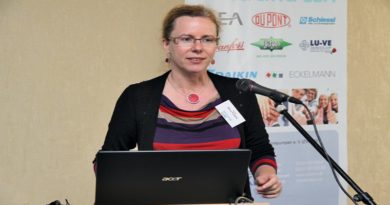
An Expert Meeting on Measurement-Model Fusion for Global Total Atmospheric Deposition (MMF-GTAD) from 26 to 27 February, held at WMO headquarters, agreed to set up a science steering committee, backed with the commitment of the assembled scientists, to chart the project’s way forward.
To produce the most accurate estimates of atmospheric deposition scientific methods that combine model simulations and field measurements were appraised. The needs of user communities related to agriculture, ecosystems and human health were assessed to ensure these drive the development of such tools.


